Juan Murillo Arias & Roger Samsó, PhD
Our Loma Verde Project has reached an important milestone: its validation by the validation and verification body. This means that, according to the criteria of the auditors who in May 2025 were visiting the Loma Verde property in which it is located – in the north of the province of Corrientes, Argentina – the project meets the conditions to be registered in Verra, the standard that we have chosen for its development under the VM0047 methodology, endorsed by ICVCM as compliant with its core carbon principles.
At this point, we wanted to stop and look back. Reflecting openly on the steps we have taken in the initial phases is, for us, much more than a technical exercise: this is the story of a process full of learnings, complex choices and deep convictions. We have made design decisions that will set the course for the project throughout decades, defining its ability to make a positive and lasting impact, both on the environment and on the communities that live with it.
Working on such long-term projects, we feel a bit like cathedral builders: we may not see the work finished, but every stone we lay, every meter we lift, will affirm our pride in having participated in this mission. As the project has become a reality on the ground, we want to share the process that has laid a foundation that we believe is strong.
The choice of the location
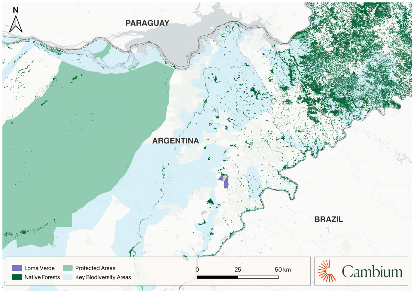
The Loma Verde ranch, with a total area of 2,531 hectares, was acquired in 2023 by the project’s implementing partner, Pomera Maderas, after evaluating different alternatives in the region. The selection of the site responded to a set of criteria that had to be met simultaneously: eligibility conditions complying with environmental and social safeguards, carbon stock potential, operational feasibility, and environmental coherence.
To this end, three levels of analysis were combined. Firstly, detailed knowledge of the methodological and regulatory framework of ARR projects. Secondly, the study of the territory using remote sensing data, historical cartography and fieldwork. And, thirdly, the regional and operational knowledge accumulated over decades of forest management in the Paraná basin by Pomera.
Loma Verde met the necessary conditions to develop an Afforestation, Reforestation and Revegetation (ARR) carbon removal project, but it also raised questions that required an in-depth analysis of the territory.
The context: a transitional ecosystem
The property is inserted in the ecoregion of Campos y Malezales, a landscape of subtropical grasslands in which mountain islets or “mogotes” are interspersed, and gallery forests associated with rivers and streams. It functions as an ecotone or transition zone between the Paranaense Forest, to the north, and the grasslands and wetlands of Corrientes such as the Iberá Wetlands, or the Aguapey River basin.
In this ecoregion, grasslands and open environments are not a transitory state, but the functional basis of the ecosystem. Herbaceous plant communities sustain food chains adapted to open spaces and complex water regimes. Species such as the rhea, the pampas deer, the swamp deer or the maned wolf – the largest canid in South America – find their preferred habitat here.
On the other hand, the “mogotes” of native forest, scattered throughout the landscape, fulfill key ecological functions: thermal shelter, nesting areas, food provision and nodes of greater structural complexity. Species such as the howler monkey, the giant anteater, the red and green macaw, the collared peccary or the jaguar are concentrated in them.
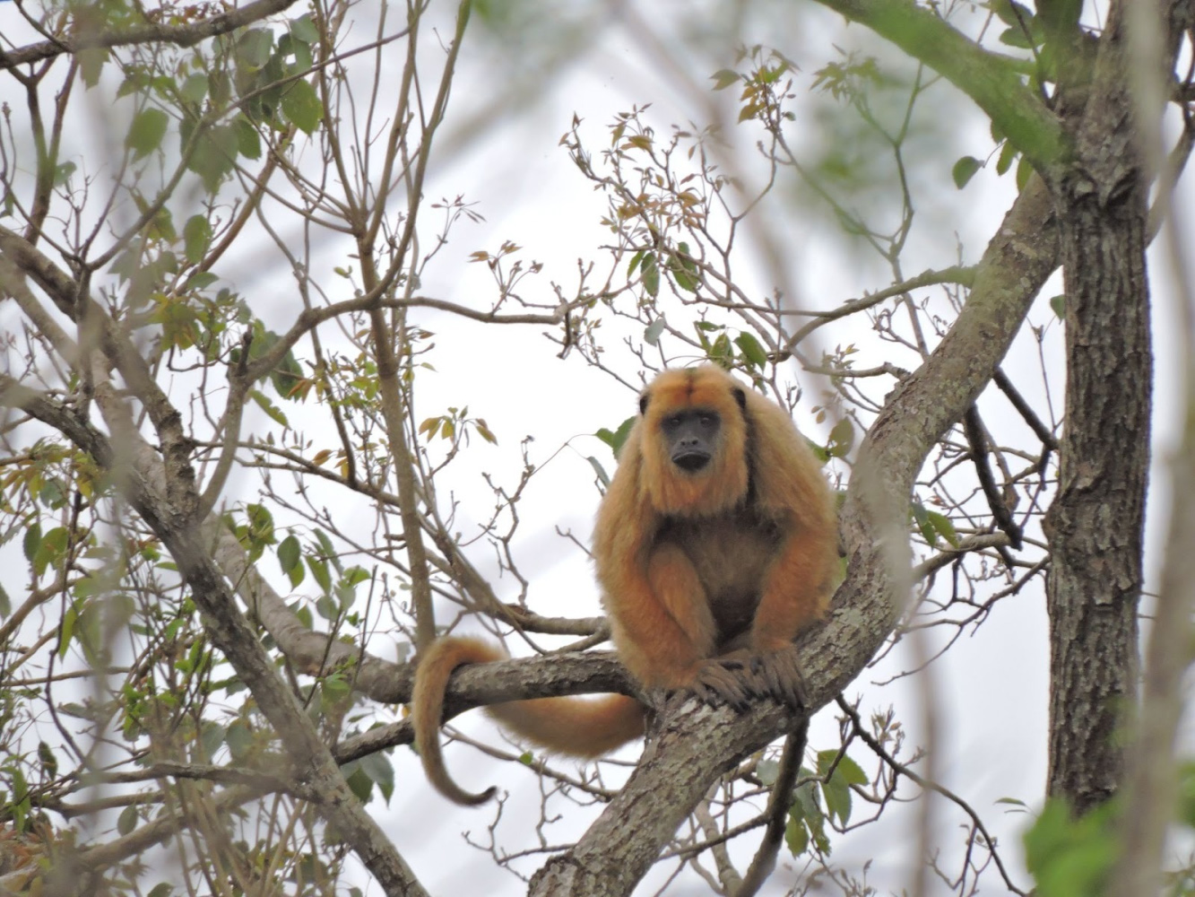
Howler monkey (Alouatta caraya): Species associated with wooded banks.
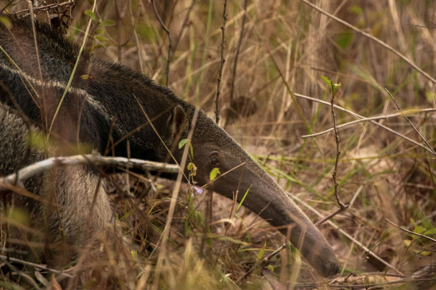
Giant anteater (Myrmecophaga tridactyla): These species need wooded areas for shelter and protection from the sun | Foto: David Waite.
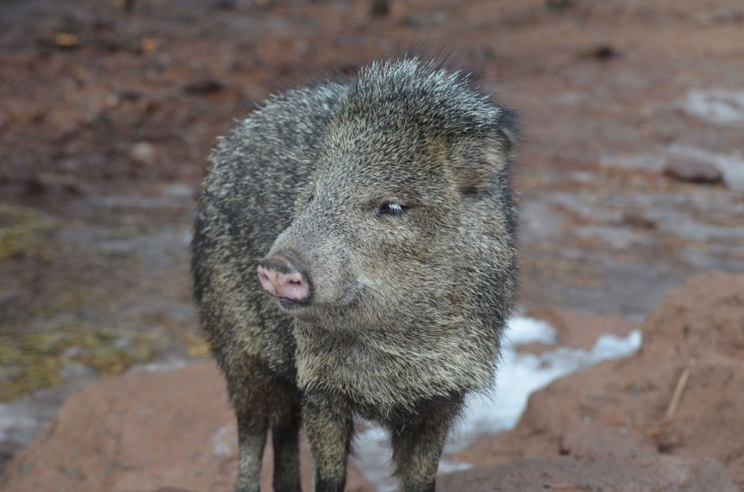
Collared peccary (Pecari tajacu): It lives mainly in forests and jungles, although it also appears indense scrubland. | Foto: diseñado Freepik.
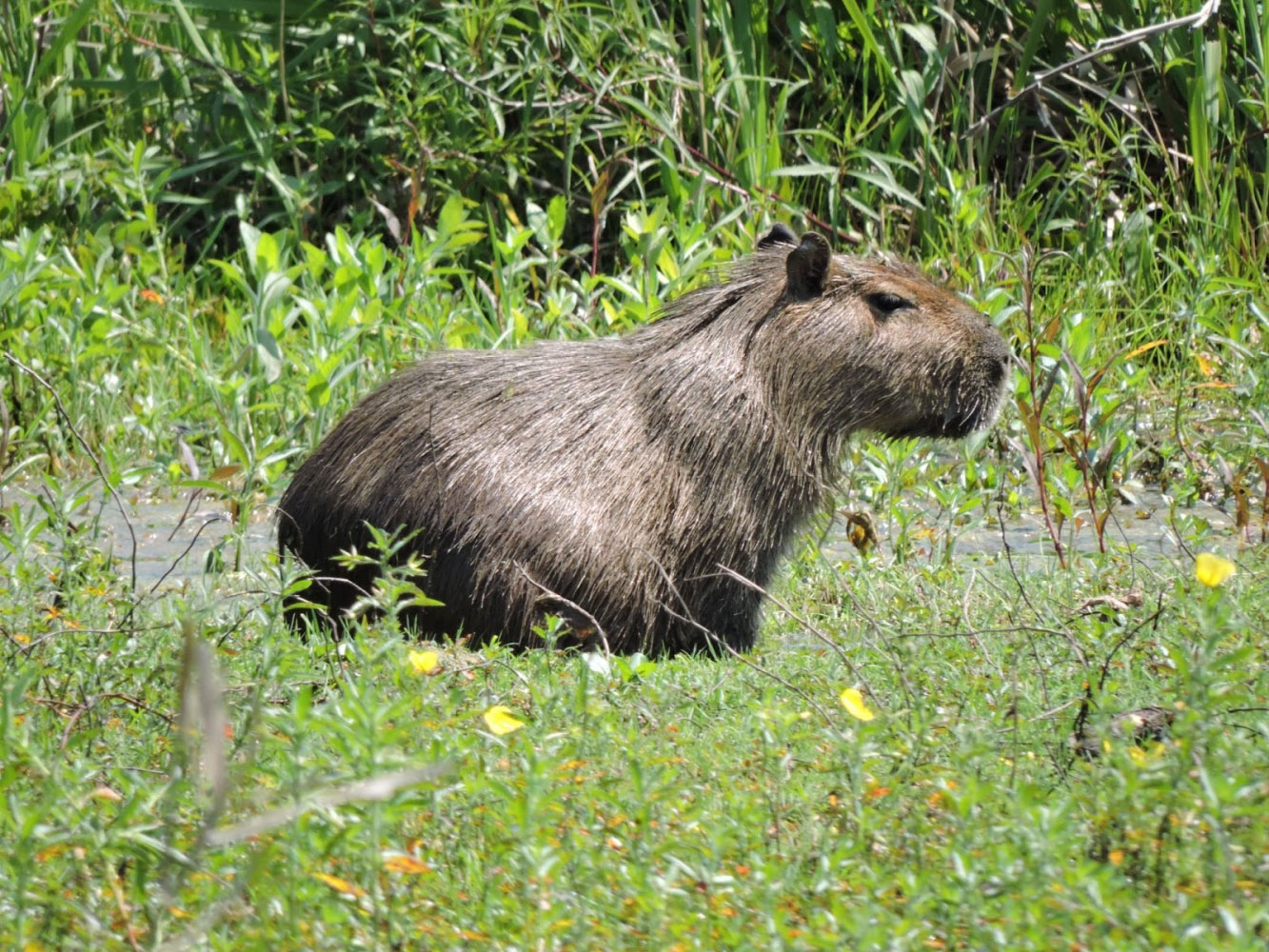
Capybara (Hydrochoerus hydrochaeris): Ther inhabit areas near bodies of water and live in herds forming groups of up to 100 specimens.
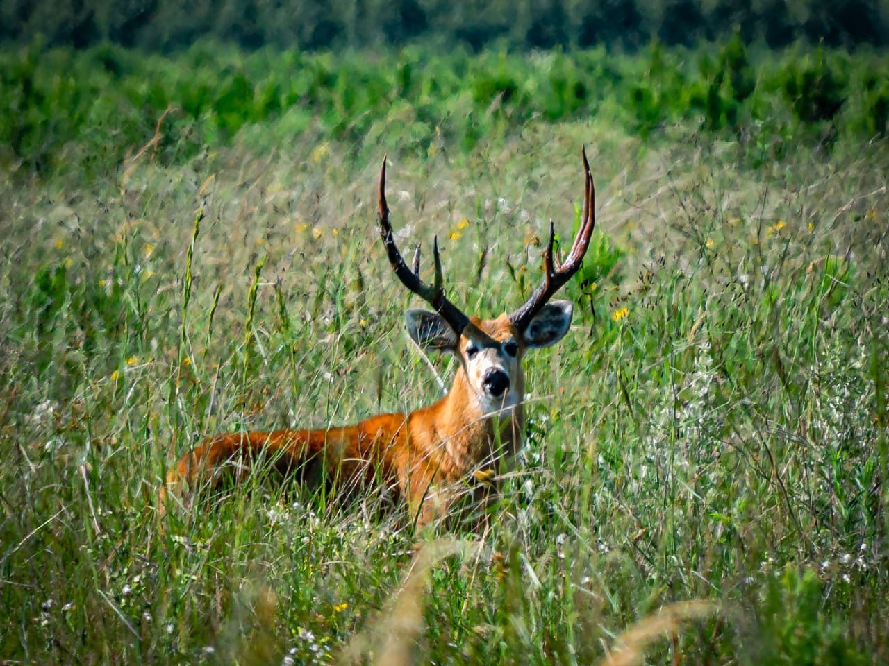
Marsh deer (Blasteocerus dichotomus): Endagered species that inhabits marshes and floodplains; generally solitary, although also found in pairs or small groups.
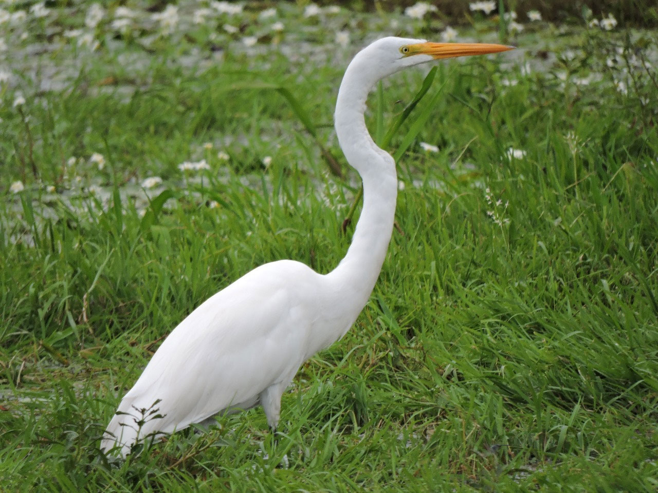
Great White Egret (Ardea alba): It inhabits reed beds on coastlines and in bays of lakes and slow-moving rivers.
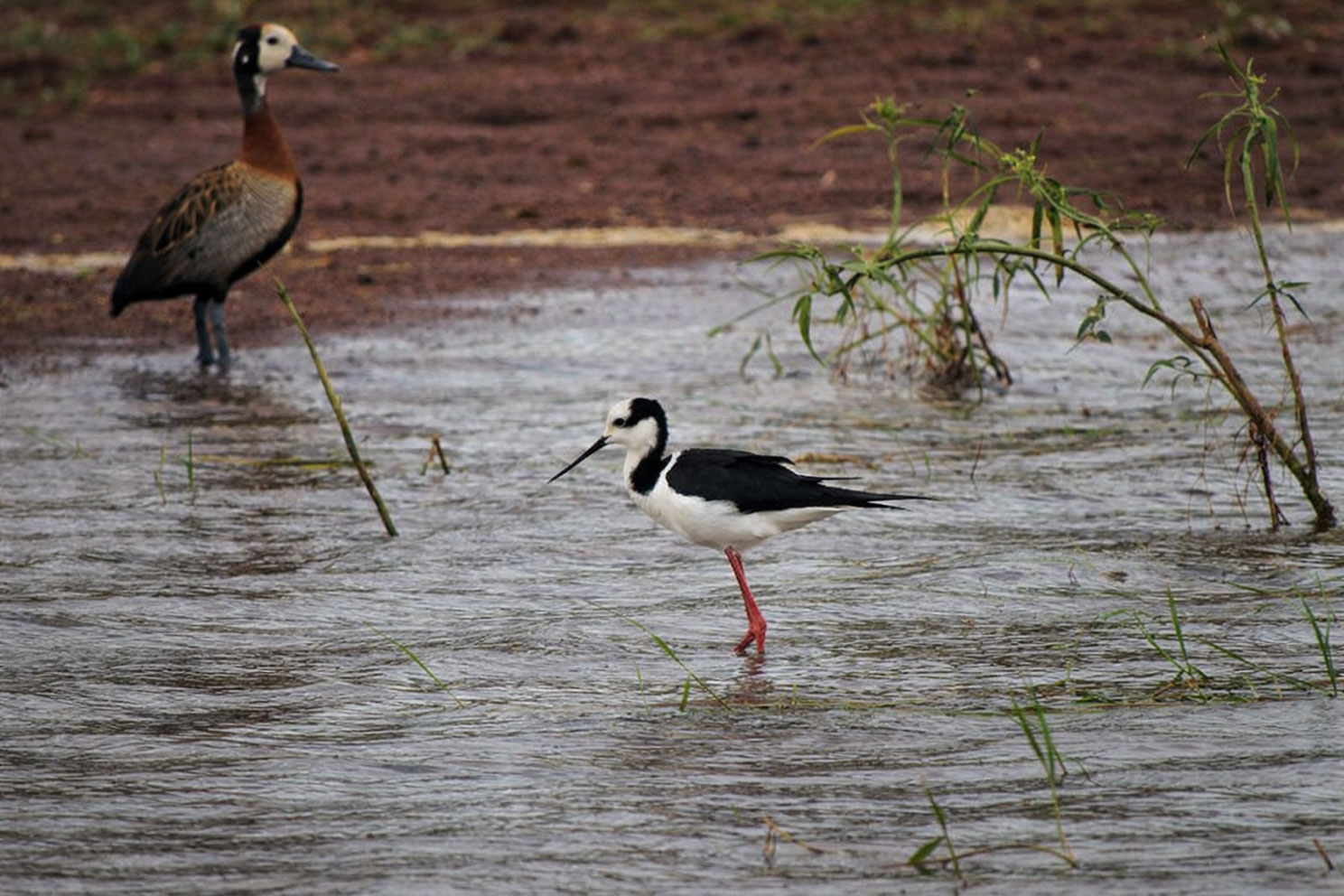
Black-winged stilts (Himantopus melanurus) and white-faced whistling ducks (Dendrocygna viduata): Inhabit areas with water and abundant vegetation.
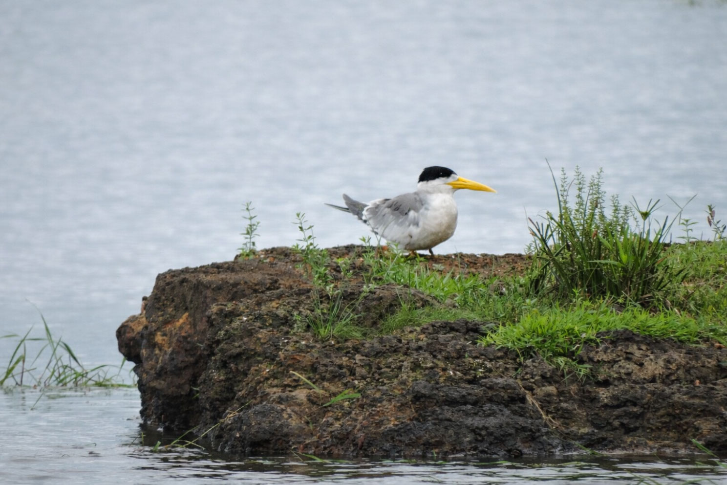
Great-billed tern (Phaetusa simplex) Its natural habitats are rivers and freshwater lakes.
Designing a forestry project in this context requires starting from the recognition of this heterogeneity and the historical coexistence of open and closed systems.
A land with a particular history
Since the arrival of the Europeans, for centuries Loma Verde was mainly dedicated to extensive cattle ranching, especially in its northern half, while in the south there were rice fields that more recently were also transformed into fodder pastures. Livestock farming, sustained by periodic burning, had progressively altered the structure of the soil, also degrading it by erosion and compaction, and reduced the extension and density of the mogotes of native forest.
Even under the pressure of the cattle, part of the original systems persisted. Remnants of native forest and large areas of grasslands with wetland characteristics preserved their ecological functionality. From the initial phases of the project, these environments were identified as structural elements of the territorial system and considered in the overall design as conservation areas.
Zoning to integrate, not to exclude
The territorial diagnosis developed after the acquisition of the estancia aimed to understand the functioning of the complex before defining any intervention. With the technical support of INTA, multiple sources of data were collected and analyzed: historical information, fieldwork for the collection of samples that were analyzed in the laboratory, topographic and edaphological characteristics for the evaluation of drainage capacity, combining all this to arrive at an accurate zoning.
This zoning made it possible to distinguish, on the one hand, areas with specific ecological functions of this ecoregion – wet grasslands in the lowlands and open areas, together with remnants of native forest in the highlands – to be preserved, and on the other, sectors where afforestation could be carried out without altering these dynamics. The result was a mosaic design, in which conservation and plantation areas are part of the same system.
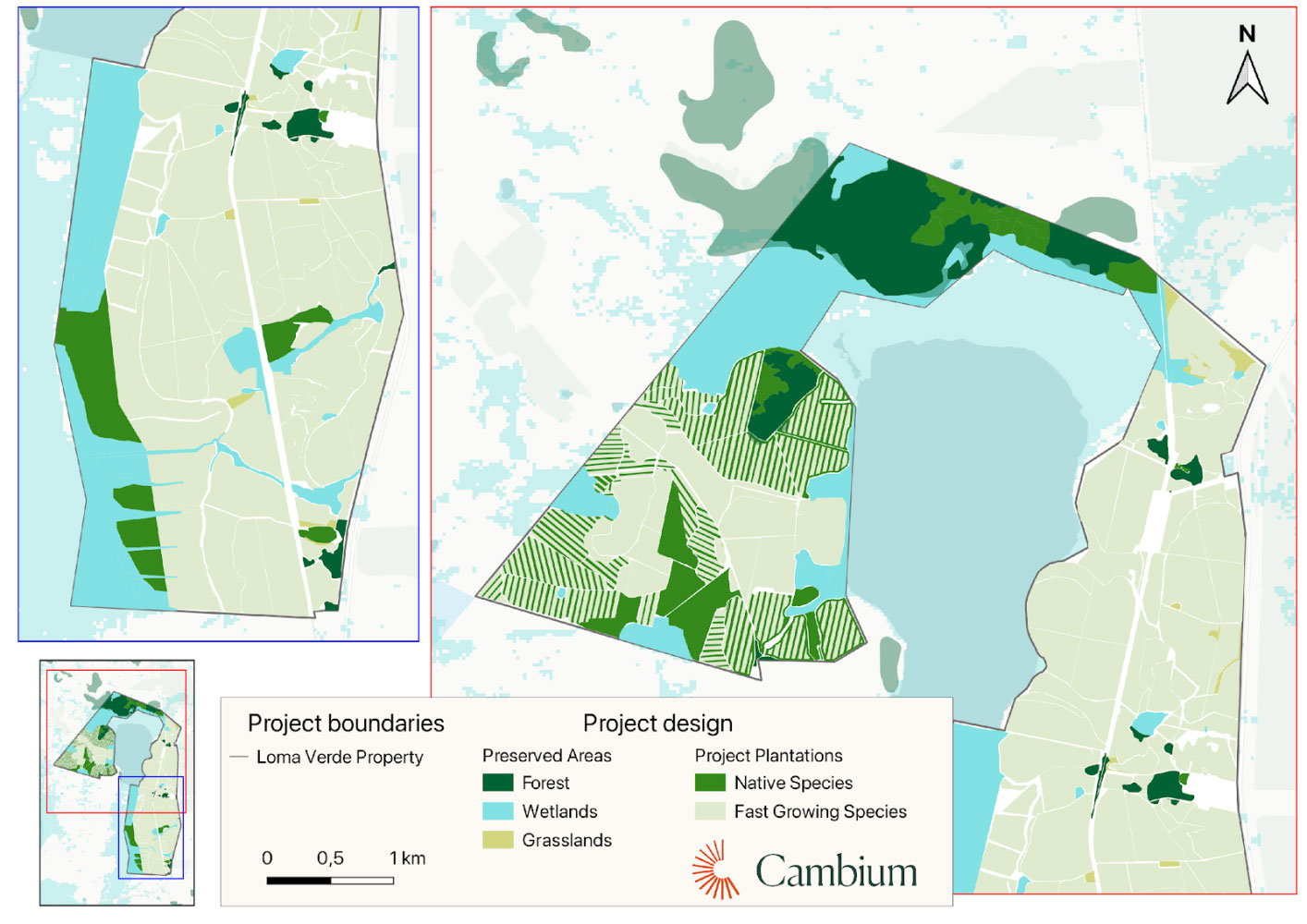
In total, 587 hectares, approximately 23% of the property area, were integrated as high environmental value conservation areas: 413 ha of grasslands and wetlands, and 174 ha of native forest. We have integrated these surfaces in the ARR project not as residual spaces, but as essential components of the ecosystem, whose preservation allows us to maintain key ecological processes and provides stability to the whole.
Forestry design of the project from a territorial perspective
The 1,789 hectares destined for afforestation were subdivided based on a second zoning, which differentiates between high and low areas, with different soil and water dynamics.
In the highlands, the dominant species is Eucalyptus, and hybrid pine in the lowlands. Both species offer high growth rates and allow average removals of around 25 tCO₂ per hectare per year, consistent with the objectives of an ARR project. Thus, the carbon dioxide that the forest biomass will accumulate in the 43 years of the project amounts to about 2 million tons.
Along with these fast-growing species, 20 native species are incorporated, occupying about 274 hectares. These species are arranged in bands that surround and intersperse the eucalyptus and pine lots, forming ecological corridors and acting as seed sources. We already developed in this articlewhy is it necessary to combine native and exotic species to maximized both environmental goals: fast carbon removal, and biodiversity enhancement.
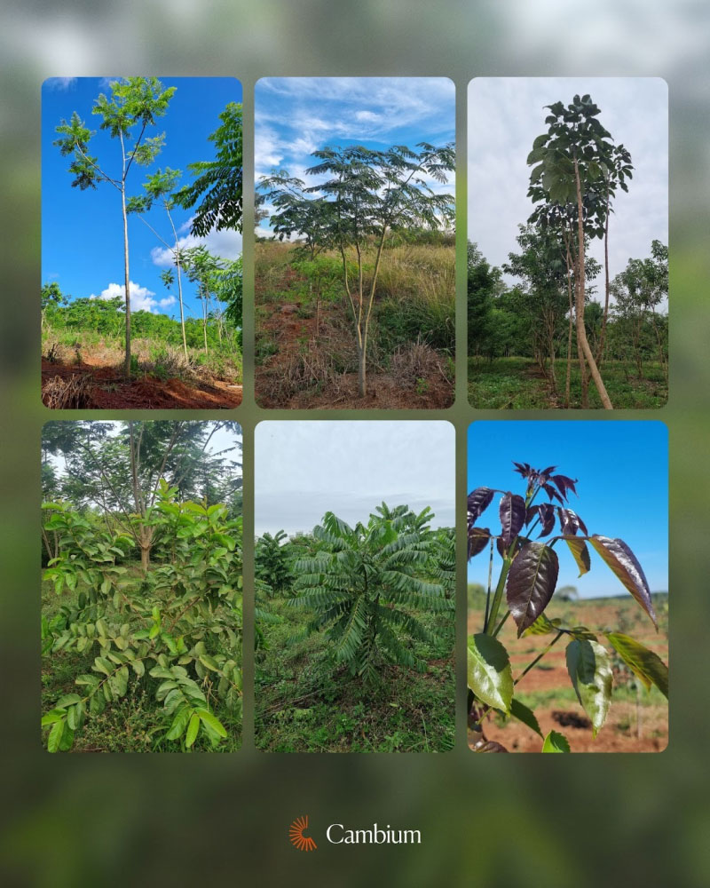
A wide variety of native species reflects the forestry richness of highlands and lowlands in this territory
There is also a small reservoir for irrigation whose water surface occupies about 400 ha. Although this element is not part of the property, it is surrounded by our project, providing a valuable point of biodiversity, as the fauna of the area comes to it to drink, and there is a permanent presence of waterfowl. Bands of native trees connect the Aguapey River Basin, adjacent to the project at the western end, with this lagoon.
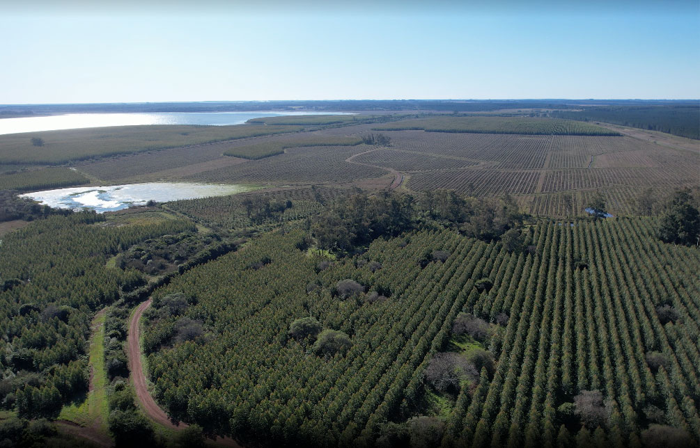
Loma Verde tree plantation as in December, 2025
Plantation as a nursery structure
One of the principles that guided the design was to understand the plantation not as a final destination, but as a tree nursery structure that will evolve over time. The presence of fast-growing species that will not be harvested allows the generation of more favorable microclimatic and edaphic conditions than those existing after decades of intensive livestock use and recurrent burns in the face of natural regeneration and transition of the plantation to a secondary forest.
Thus, the bands of native species play a central role here: they function as seed reservoirs and facilitate that, over time, native species can establish themselves naturally in the interlinings of the plantation. This process of natural regeneration is only viable in a context of structural stability, in the absence of harvest and without periodic disturbances, allowing successional processes to develop without interruptions and the ecological complexity of the system to increase progressively.
The bands of native species also fulfil other functions: they favour the biodiversity of fauna, due to the provision of edible fruits and the shelter that the forest cover provides, and they also exert a certain firebreak effect, since the set of native plants used is associated with a low risk of flammability.
With this, we achieve a design that prioritizes the long-term stability of the carbon stock and compatibility with existing ecological systems, integrating the plantation into the territory without trying to homogenize it.
Loma Verde is not just a carbon removal project
From the initial phases, the project also incorporated an analysis of the social and cultural context. Teams specialized in anthropology, sociology and archaeology made it possible to identify the needs of the neighboring communities and document archaeological remains linked to ancient Jesuit estancias, the origin of livestock practices in the region since the sixteenth and seventeenth centuries.
These elements are integrated into a social action plan that covers, among other aspects, support for community gardens, programs for the prevention of endemic diseases, educational initiatives, actions aimed at women’s self-employment, improvements in access to drinking water and the conservation of cultural heritage.
Obviously, in a project that will last until 2066, this plan will be flexible and adaptable to the evolution of the socio-economic context of the environment in which it is located.
A balance of this stage
The steps described cover the beginning of a project that, once definitively approved, will be added to its precedents: Tapyta Project in Paraguay and Puerto Valle Project, also in Corrientes. With this portfolio of projects, we complete a stage of learning, team formation and consolidation in 2026, in which Cambium Earth will celebrate 3 years since it was established.
We look to the future with optimism, and with the firm will to develop new projects based on all the accumulated learning, above all in the knowledge of native tree species, a strategic commitment in which Cambium Earth and Pomera Maderas, advance together, as part of the INSUD Group, making tangible their commitment to innovation and sustainability.
Do you want to get involved in our projects? Let’s talk!